USD Research Sets Stage for New Technology to Monitor Climate-Smart Agriculture Practices and Enhance Productivity

Two significant ways farmers can improve soil health, reduce erosion and decrease greenhouse gas emissions are to plant cover crops and adopt conservation tillage practices. These agriculture management approaches can also earn farmers payments from companies that purchase credits based on the amount of atmospheric carbon these practices have kept sequestered in the soil.
Using satellite data and machine learning technology, researchers from the University of South Dakota have developed a way to help track and document farmers’ management techniques. In the field of sustainable agriculture, this process is called Measurement, Reporting and Verification (MRV).
Their findings were recently published in the article “Monitoring the Spatial Distribution of Cover Crops and Tillage Practices Using Machine Learning and Environmental Drivers across Eastern South Dakota” in the journal Environmental Management.
Khushboo Jain, a doctoral student in the Department of Sustainability & Environment, is the primary researcher on the project. She arrived at USD with a bachelor’s degree in geology and a master’s in geographic information system (GIS) and remote sensing, which is the science of obtaining information about objects or areas from a distance.
“Remote sensing – satellite data analysis – is a tool to monitor how promising alternatives to conventional farming like conservation tillage and cover cropping can help improve soil health and reduce soil carbon loss,” Jain said.
Conservation tillage includes a variety of techniques that minimize soil disturbance and leave plant residue on at least 30% of the soil surface. Cover crops are crops grown on otherwise bare land with the purpose of improving the soil in which farmers will later grow crops for profit.
The researchers used publicly available satellite images (from the Landsat and Sentinel-2 satellites and also through Google Earth Engine) to document the presence of cover cropping and tillage activities on farmed land in South Dakota east of the Missouri River during 2022 and 2023.
To gain information from these images, researchers used satellite-derived indices, which are mathematical formulas that interpret data from satellite-based sensors that collect wavelengths across the electromagnetic spectrum.
Some of the indices used include The Normalized Difference Vegetation Index (NDVI), which measures the health and density of vegetation, and the Normalized Difference Tillage Index (NDTI), an index used to map crop residue and tillage intensity.
Combined with environmental variables such as surface temperature, wind velocity, precipitation and soil moisture, these indices allowed the study authors to infer the level of tillage intensity and identify the presence of cover crops over time and through different environmental conditions in all 34 eastern South Dakota counties.
One of the benefits of using satellite data is the ability to document the presence of cover crops and tillage activities over a large area.
This study used optical satellite data, which views the world as reflected sunlight in the visible and infrared regions, in addition to radar satellite data, which reveals aspects not visible to the human eye, such as soil moisture, soil texture, and the level of soil disturbance in a field.
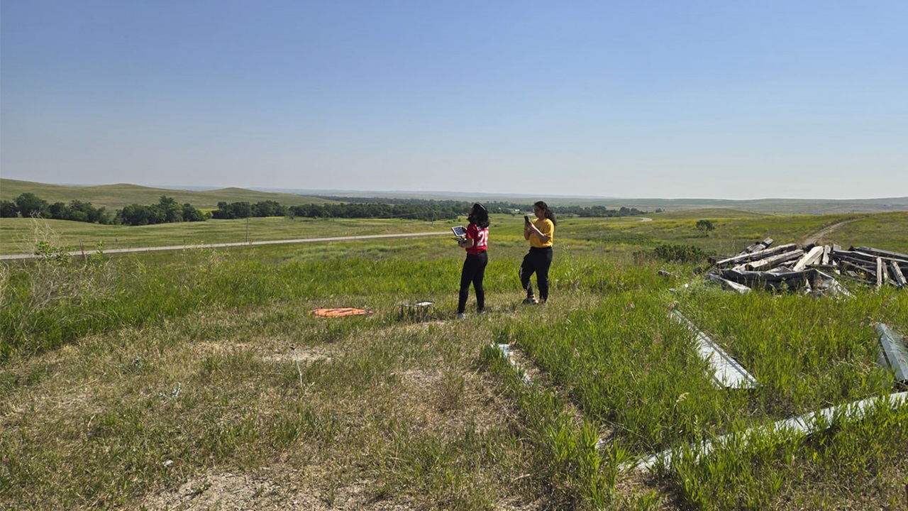
To determine if their calculations using satellite imagery were correct, Jain and her colleagues made periodic visits to the edge of crop fields to look for signs of tilling, such as deep furrows, and the presence of cover crops. The researchers estimated their remote sensing calculations were 80% accurate.
“This is ongoing research,” Jain said. “I’m still working on ways to improve the model.”
Ranjeet John, Ph.D., assistant professor of biology and sustainability & environment, is one of the study’s authors and the recipient of funding from the South Dakota Board of Regents FY24 Competitive Research Grant and the National Science Foundation (NSF) that supported this research.
John has several years of experience performing research using remote sensing with satellite data and teaching geospatial analysis. He is also the technical lead on a program to take this research to the marketplace through USD’s participation in NSF’s Innovation Corps (I-Corps™) program, which helps researchers translate scientific discoveries into commercially viable solutions.
“Khushboo’s work is validating the technology,” John said. “The next steps are to take these tools and turn them into an app. We’re making something truly local that could also be scalable. We start with eastern South Dakota and eventually expand to the Western Corn Belt.”
The entrepreneurial opportunities of this research are varied, said Meghann Jarchow, Ph.D., professor and chair of sustainability & environment and another of the study’s authors. “An obvious application of this research is it allows for large-scale verification of what farmers are doing to earn carbon credits,” Jarchow said. “A huge problem with carbon credits is that soil sampling to measure carbon sequestration on ag land would be tremendously labor intensive.”
Another useful application for farmers is what Jarchow calls “precision conservation,” or using these data tools to make economically sound conservation decisions.
For her part, Jain said she feels fortunate to use her experience and research in GIS and remote sensing to help farmers in the state.
“I always wanted to work in a field in which I can help people,” she said. “I like working with people, seeing the problems they are facing and providing solutions.”
Additional USD authors on the study include graduate students Venkatesh Kolluru and Abhinav Chandel (sustainability & environment) and Sakshi Saraf (biology).


